Using Google Maps (GM) to create my own
map was a delighting experience as I was able to “… us[e] and creat[e] [my] own map, on [my]
own terms…by combining elements of an existing toolset” (Turner). I became
familiar enough to eventually create a substantive map that coveys information,
knowledge, and understanding… using social statistics and location to
synchronize data. I quickly took enjoyment (and became slightly addicted) in
being able to manipulate data not for myself, but for the viewer who would be interacting
with my map.
It quickly became important to have an
idea to illustrate through my map because maps without thought and/or content
are void of real connection. Through “shaping context”, I was able to connect
information across and through several fields such as: economics, geography, anthropology
and sociology. In this map you will find the top 20 most dangerous cities in
the world, based on homicide statistics (information is provided by BusinessInsider.com
and is sourced through The Citizens'
Council for Public Security and Criminal Justice),the world’s
20 poorest countries (information provided by Foxbusiness.com and
therichest.org, sourced through the 24/7 Wall Street and the International
Monetary Fund, respectively), the world’s ten best places to live (information provided
and sourced by Forbes.com ), and the world’s richest cities (information
provided by known.pk and is sourced from Mercer Consulting).
Although choosing sources to become data of
illustration is difficult and arbitrary when documenting social statistics and
ranking them, consistencies within data paradigms were sought and targeted as viable
sources. Questions concerning how studies were conducted and what kind of
stringent methodologies were used can shed light onto the verifiability of data.
Regardless, information provided is rich with detail and statistics that tell a
story of a socially stratified world. Although not surprising, making such
statistics visible is much more emotional.
Over the course of creating my map on
Google, I did run into some beginning difficulties concerning program familiarities
that were easily overcome. Repeatedly interfacing with the GM
program made navigating, designing, and incorporating my ideas easier over
time. Through the course website, useful links to expand map building
information was provided, which guides one through several different applicable
Html source codes and pitfalls associated with them.
I was able to
see how the GM program has abilities that can be unlocked by advanced
programmers who understand coded language. As every individual has different computer
skills, maps can only be created to the extent of knowledge one possesses, and
I quickly knew the extent of my skills as some of the advanced features were found
to be unavailable to my GM creation skill set. As mentioned before, I was able
to learn a lot and found some beginner tricks readily available to me, so I
tried to include what I learned into the overall ergonomics of my map. I think
neogeography on the whole has unlimited potential especially as other widely
and easily distributed map making programs become open for people to use. Until
then, people will be limited in software choices…which will unavoidably bring a lot of frustration to the user as
well as growth in skill over time.
+++
View Map Dristributing Semi-Arbitrary International Social Categories in a larger map
Above map illustrates socio-economic points previously mentioned. The (!) symbolizes the world's most dangerous cities while the (P) symbolizes the world's poorest countries. All ($) symbols refer to the world's richest cities, while the house([^]) symbol refers to the world's best places to live.
+++
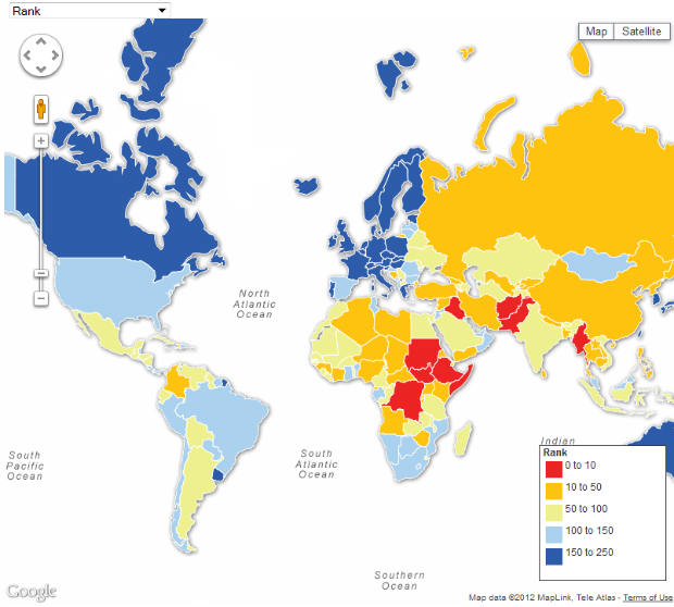
View Map Dristributing Semi-Arbitrary International Social Categories in a larger map
Above map illustrates the northern hemispheres'stark socio-economic advantage over the southern hemisphere.
+++
View Map Dristributing Semi-Arbitrary International Social Categories in a larger map